Cartes – XVIe siècle

La doctrine de Luther se répand en Europe et notamment en France dès les années 1520. En dépit des répressions, la réforme s’installe en France, mais irrégulièrement suivant les régions.

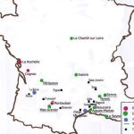
Dans la seconde moitié du XVIe siècle des Églises réformées se constituent surtout dans le sud de la France, du Poitou au Dauphiné en passant par l’Aunis, la Saintonge et le Languedoc. C’est ce que l’on a appelé le «croissant réformé».

Calvin, en 1541, s’installe définitivement à Genève, ville qui sera pour tous les réformés un lieu de refuge assuré.

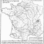
Origin of the Refugees in Geneva in 1560
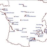
Map of the Protestant strongholds before 1598
Map of Protestant strongholds between 1598 and 1629
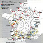
Map of Protestantism at the time of the Edict of Nantes
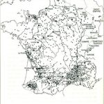
Map of the Protestant minorities
Reformed churches in the 16th century
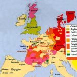
Religious situation in Western Europe at the end of the 16th century
The Reformation in Europe
Europe at the end of the 16th century
Spreading of the Reformation in Europe
The places where Luther and Calvin stayed

Associated notes

Gravures ou plans anciens de villes

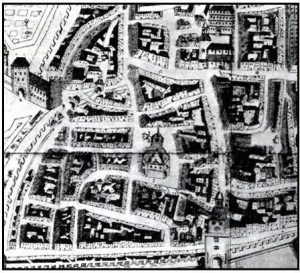
Nous avons rassemblé ici un grand nombre de plans et gravures de villes des premiers temps de la Réforme.

Autres plans

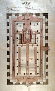
Certains temples du XVIe siècle, ultérieurement détruits par ordre du roi, nous sont connus grâce aux plans et gravures d’époques. Ainsi, l’œuvre de certains architectes protestants est parvenu jusqu’à nous...

Affiches

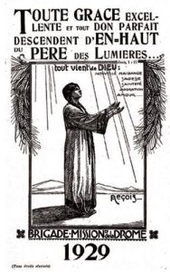
Les affiches constituent un moyen de faire connaître le protestantisme ou de commémorer certains événements importants.

Papers or periodicals in the 19th and 20th centuries

In the 19th century, the Protestant press could express their views freely. As the number of doctrinal trends increased so did the number of periodicals. Various association also produced their...