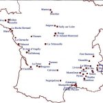
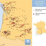
Au XVIIe siècle en France, l’Église protestante est reconnue légalement par l’édit de Nantes (1598) qui rétablit la paix après 40 ans de guerres civiles. Celle-ci, qui comptait deux millions de protestants en 1562 et n’en a plus qu’un million au début du XVIIe siècle, tente alors de s’organiser.
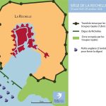
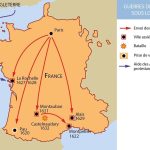
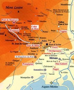
Sous Louis XIII, les guerres de religion reprennent en 1621 et se poursuivent de façon sporadique jusqu’en 1629 (paix d’Alès).
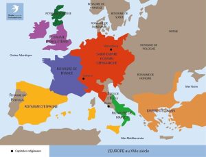
De nombreux protestants émigrent hors de France dès avant le grand flux qui suit la Révocation de l’édit de Nantes (1685).


